
Haute Route Pyrenees Part 2, 31/8-4/9 2026
The haute route Pyrenees (HRP) adventure continues. Part 1 can be found here.
31/8 — Monday
As I awake the fog hangs thick across the valley floor and the tent is soaking wet. I immediately went to check on my Macgyver powerbank charging solution. It failed after about 50 % charge. Oh well, I have a half charged powerbank and an almost fully charged phone. That should be enough for a few days.
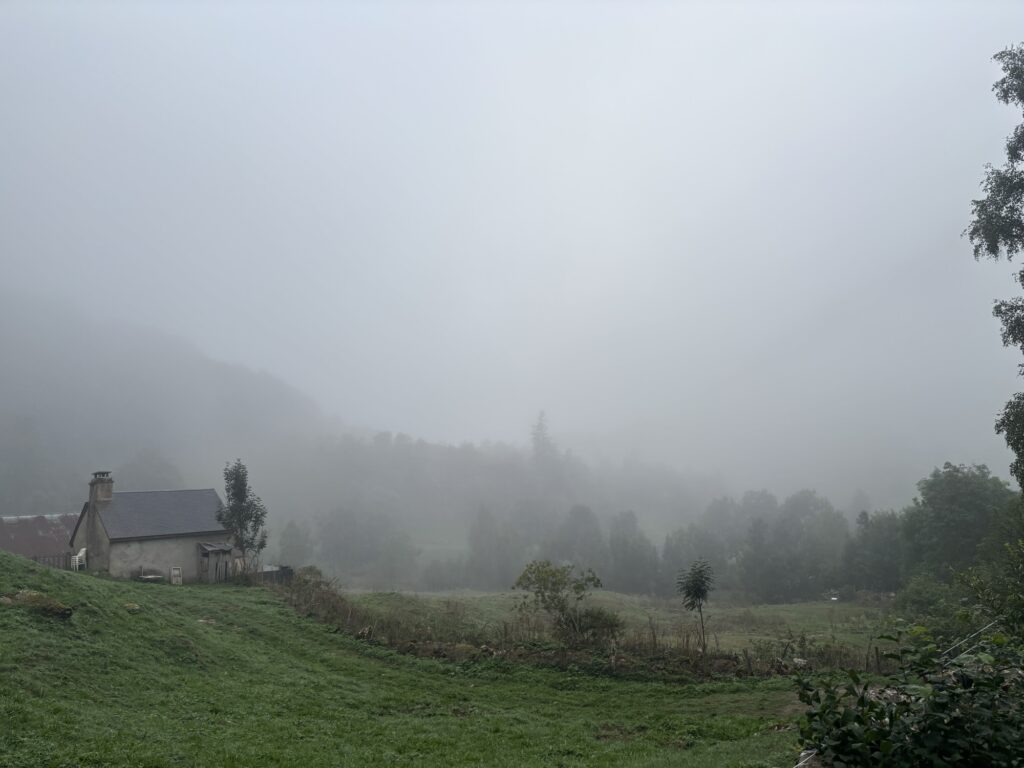
I started the day with climbing the very same path my father and I did 4 years ago. I passed by where we camped one night and then continued all the way to the awesome Refugio de Tucarroya which is a small hut literally blasted into the mountain. I remember navigation here 4 years ago when the path was full of snow and the fog was thick with barely 20 meter visibility, and then I did not have digital aid but relied on my map and compass skills. It was a fun challenge.
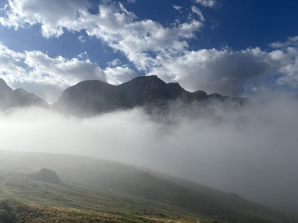
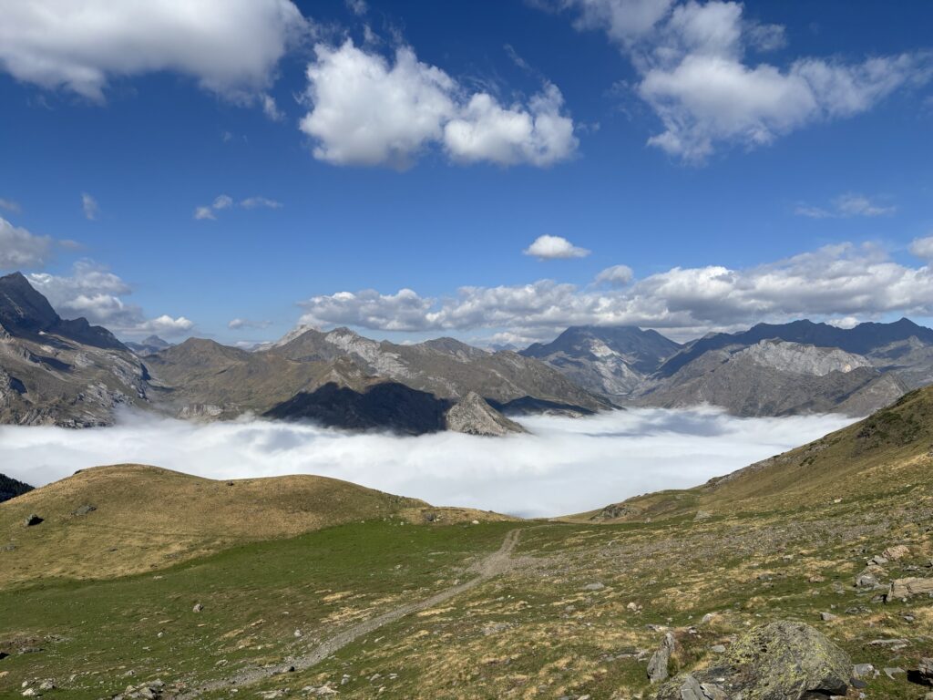
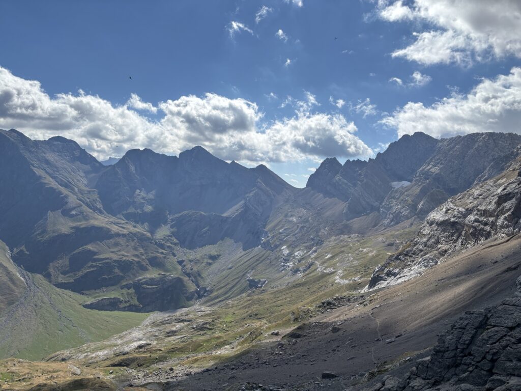
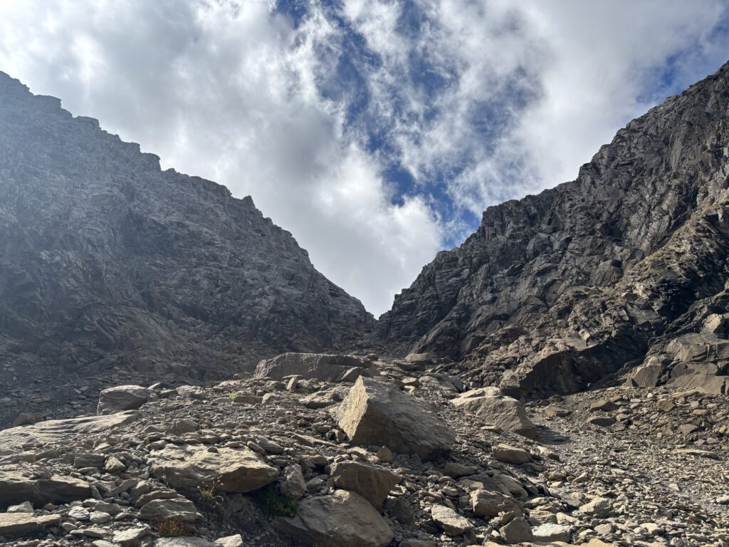
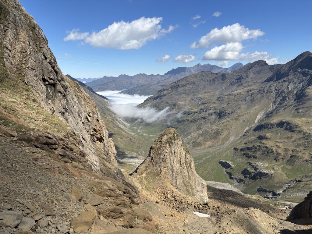
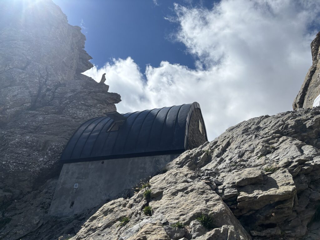
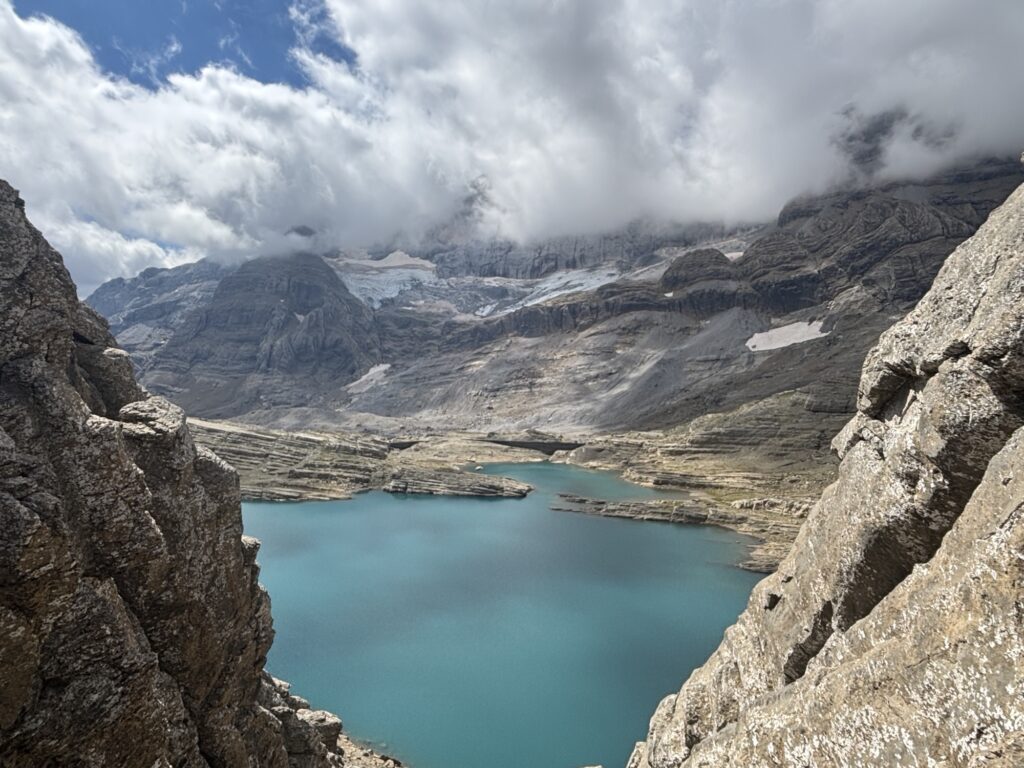
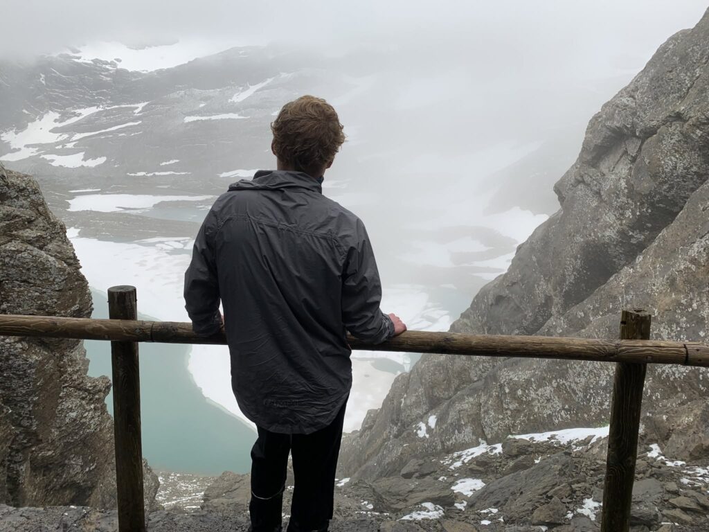
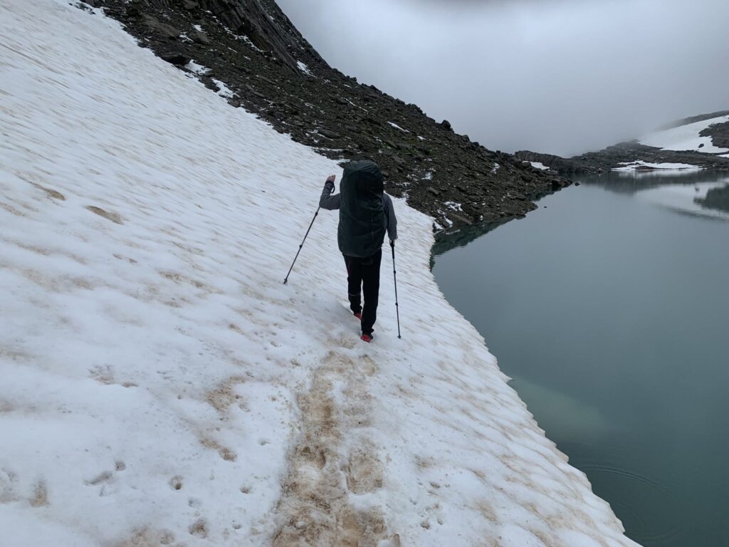
In the refuge I met a Spanish guy named David that has been staying there for one month, climbing and just enjoying the surroundings. We chat for a while while I eat lunch before I continue. Last time, in 2022, much of the shoreline was covered in snow. I remember looking back after we crossed the snow and the snow was then literally hanging in the air above the water. This time there is not much snow.
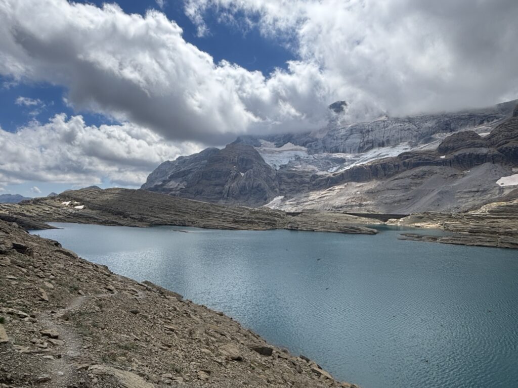
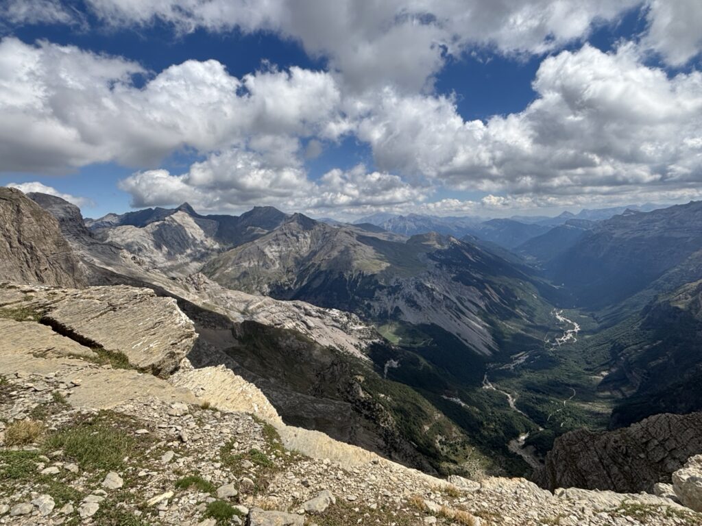
I power on downhill to the famous Ordesa valley, connect to the GR 11 and camp in a beautiful little valley. Tomorrow I will hike the dirt road to the town of Parzan where I will connect with the official HRP route. The previous time we instead hiked up the mountain going back to France. Today I hiked the same route we did in 2022, but then it took us 2 days, although then the weather was bad, today was excellent and I got to experience much more of this spectacular area.
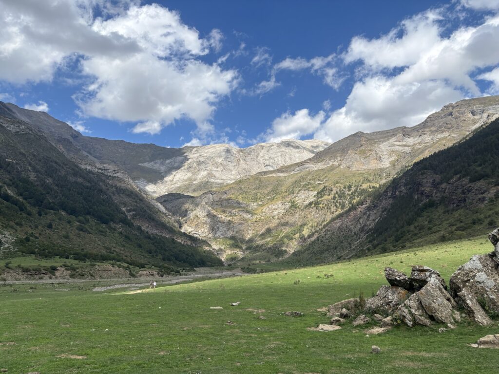
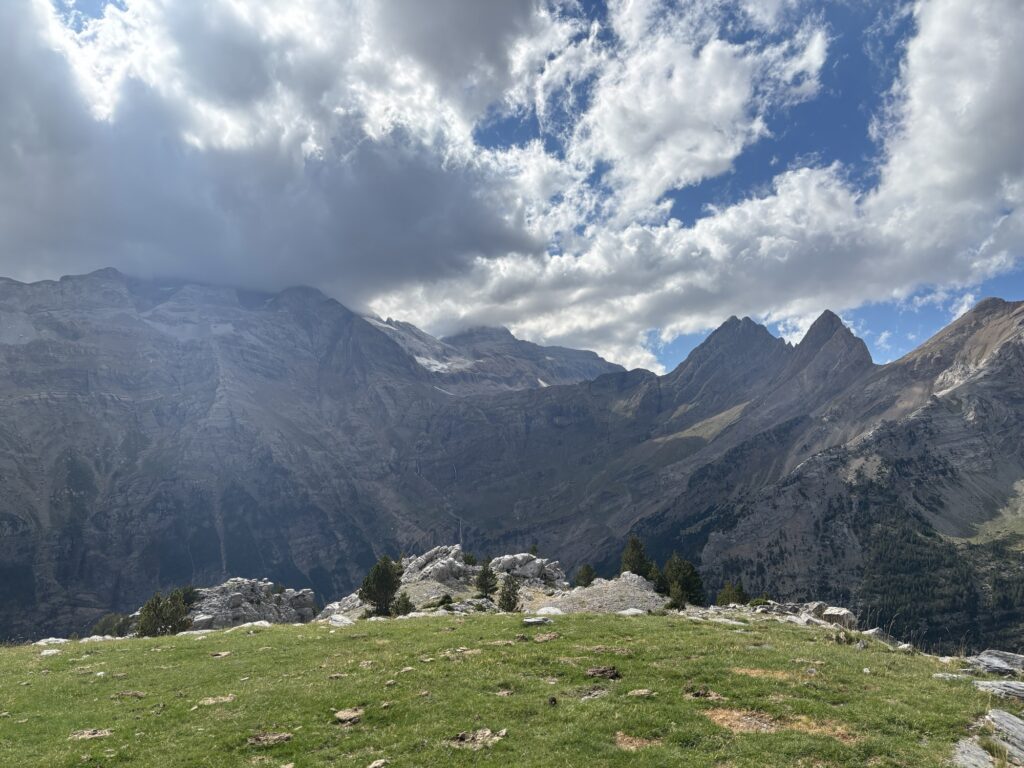
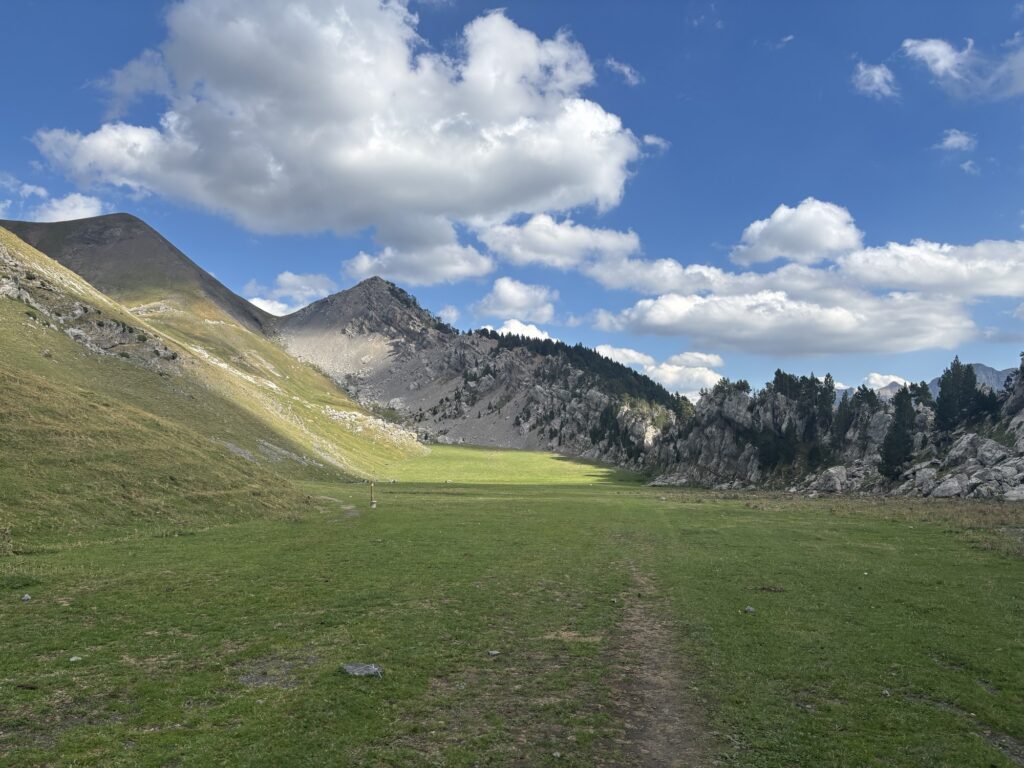
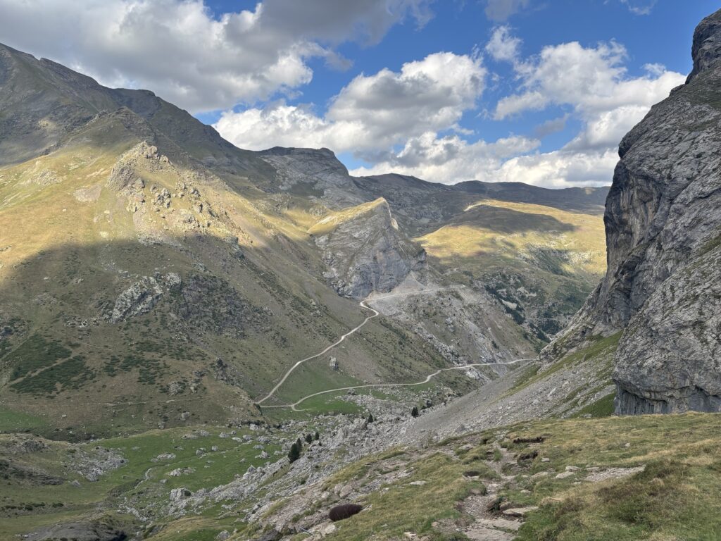
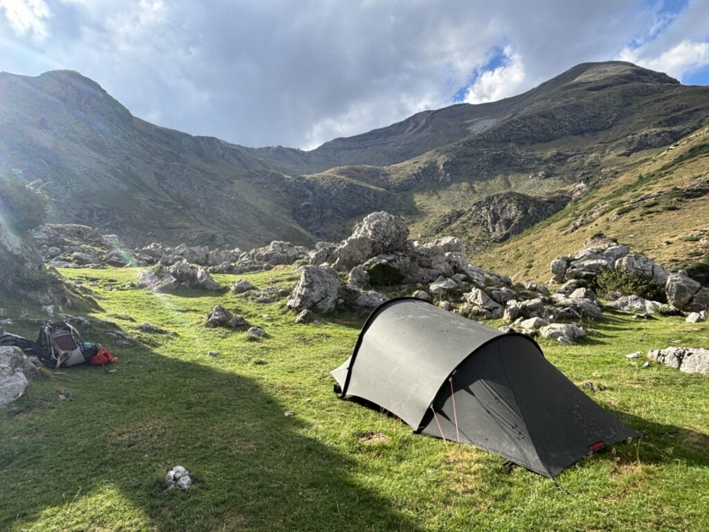
I still have some problems with my feet, specifically the Achilles. But at least I walk relatively good now both in the up- and down-hills, just not for too long. Hopefully it remains good enough for the last 3-4 days as well.
1/9 — Tuesday
Another warm and pleasant night. Today is a bit of a transport day. First, I walk a long stretch on the dirt road to Parzan, stop for a minor resupply, then another long stretch on yet another dirt road to Paso de los Caballos at which I meet two gentlemen; one from Germany and one from Netherlands, who had found each other on the HRP trail and were now walking together. Other than those two I saw very few people today, I mostly walked in silence.
After crossing Paso de los Caballos I immediately hike down again, continue on some more roads, and commence the last climb of the day to the cabana I intended to sleep in. Or so I thought.
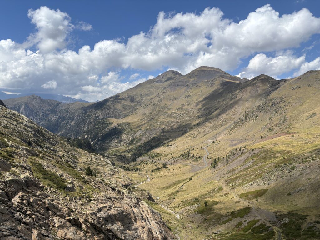
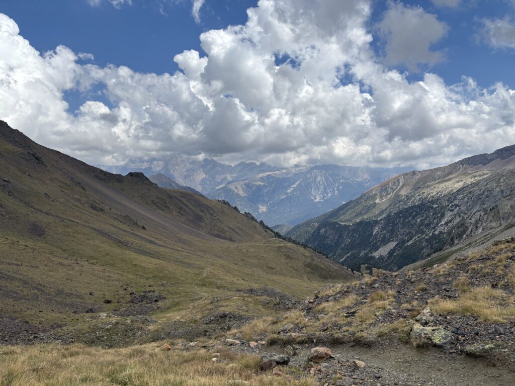
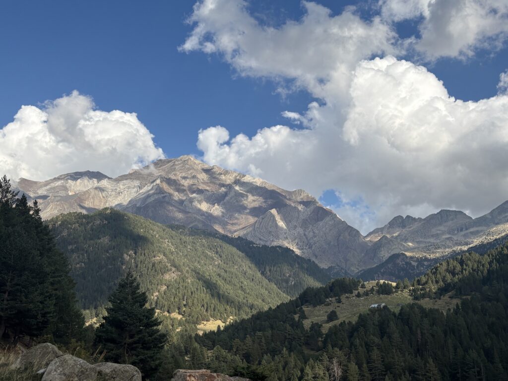
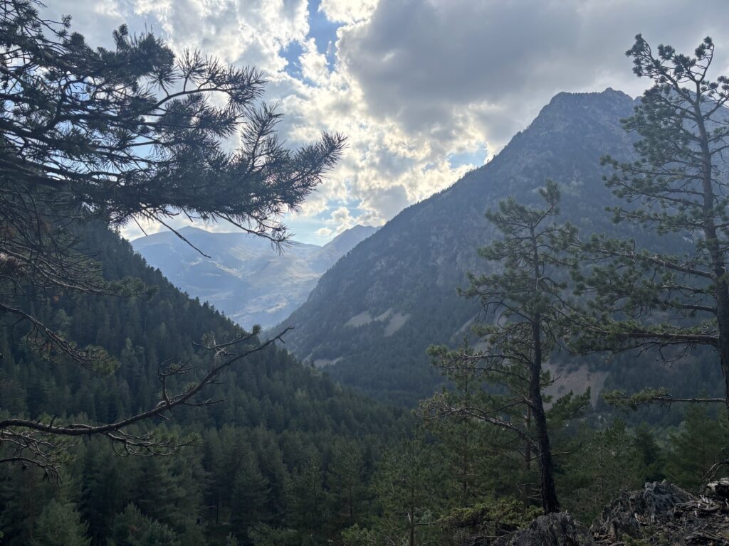
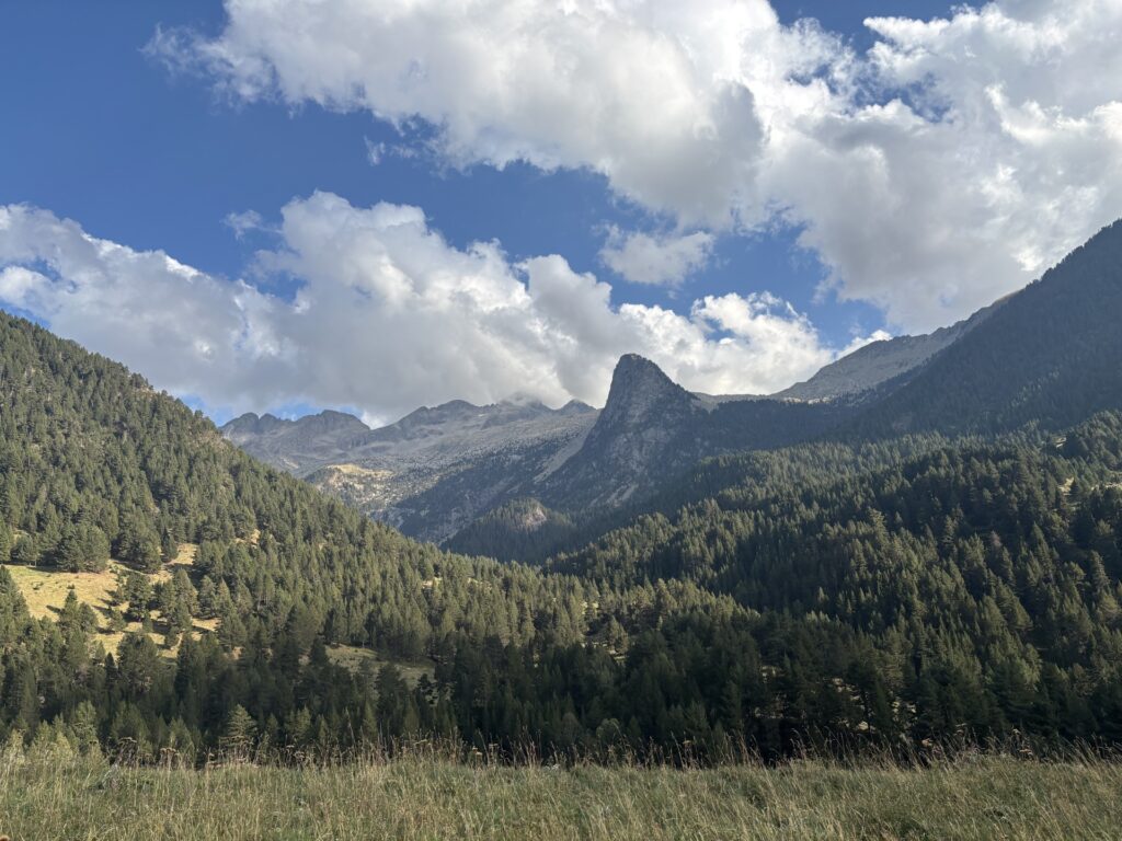
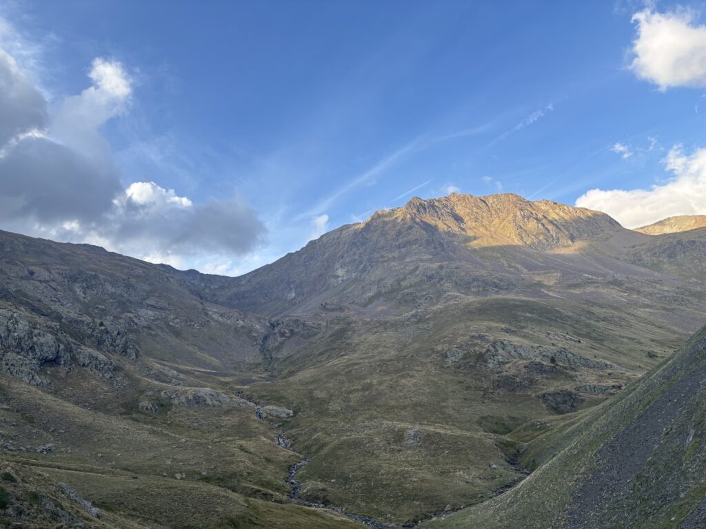
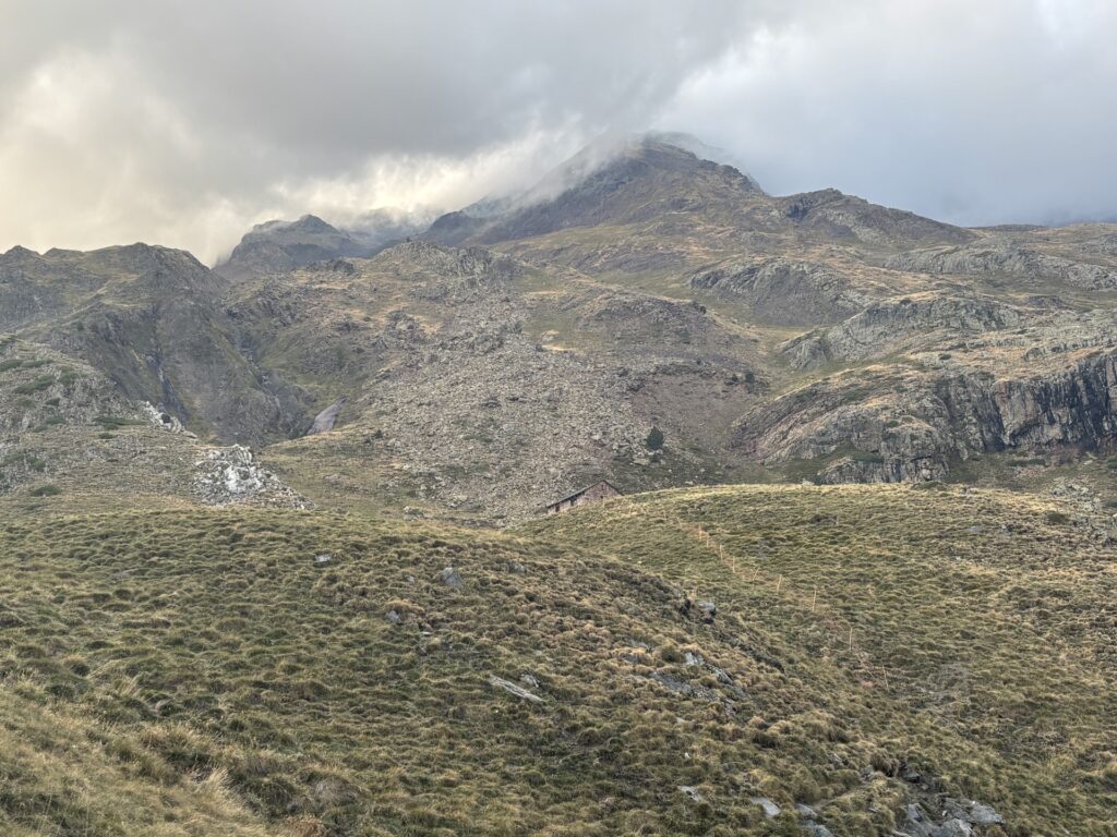
As I approach the cabana I see a tent just outside, I ask “is it locked?” And the Danish guy in the tent answers back “yes”. We ended up having a long conversation, in English of course. Danish should barely be considered a language. He is also hiking the HRP, but has the fortune of having a girlfriend who lives in the area and regularly takes the car to meet and support him with nice fresh clothes and warm food.
As he had more or less taken the only flat spot in the area I decided to continue hiking a bit more, after our long conversation, to find some flat ground. I ended up camping next to an Israeli who is hiking the GR 11 and intends to continue south down the Spanish coast after reaching Hendaye. After another long and pleasant conversation it is well past sunset. Not much sleep tonight.
The day is summarized as: a lot of easy transportation, but still with the constant beautiful Pyrenees views. Another big positive of today is that the roads were lined with blackberries again, giving me some extra energy. For example, today’s lunch was cheese, nuts and blackberries. A proper gourmet feast.
2/9 — Wednesday
Today I will take an alternative much higher ridge route to summit some 3000m+ peaks. But first I must climb 700 meters to cross a ridge, climb back down, hike to a small lake, eat a crazy amount of cheese (this is mandatory) and then I can start climbing the 1000 meters to reach, first Tuca de Puixebres (3104 m), second Torre Armengaud (3113 m), and lastly Tuca de Gorgs Bllancs (3129 m).
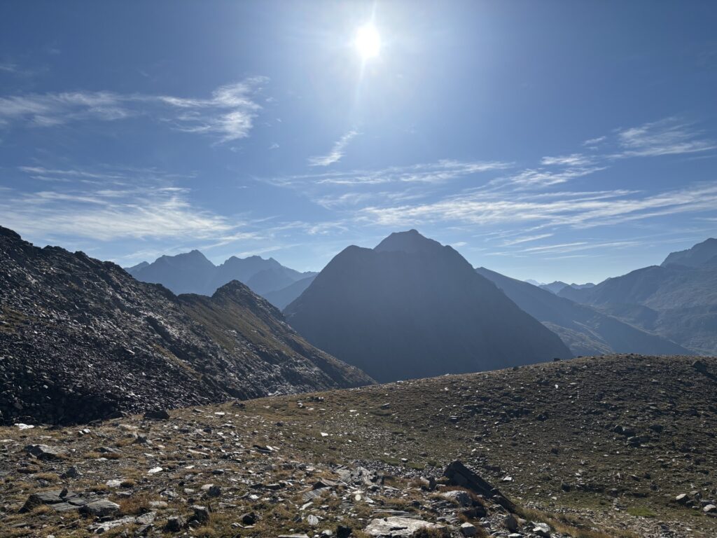
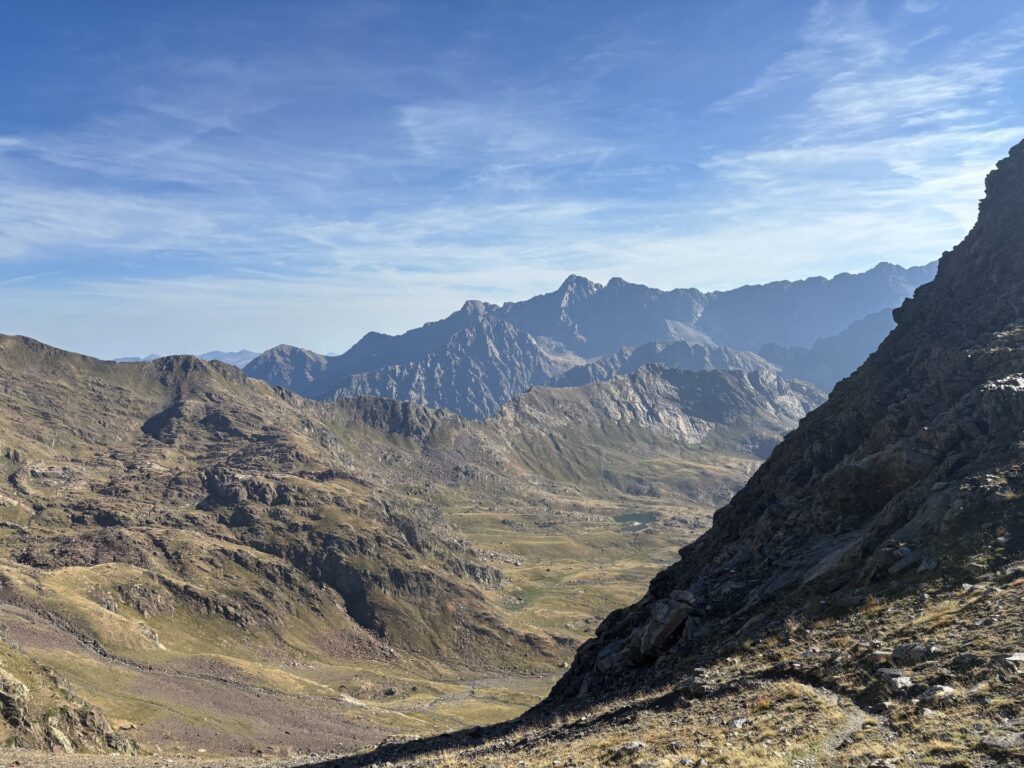
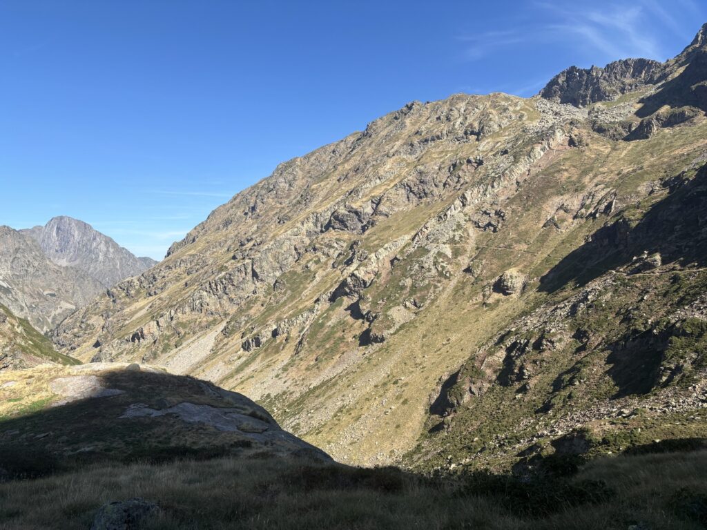
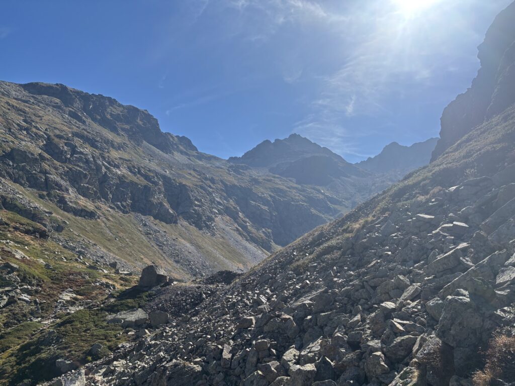
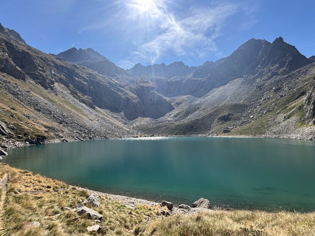
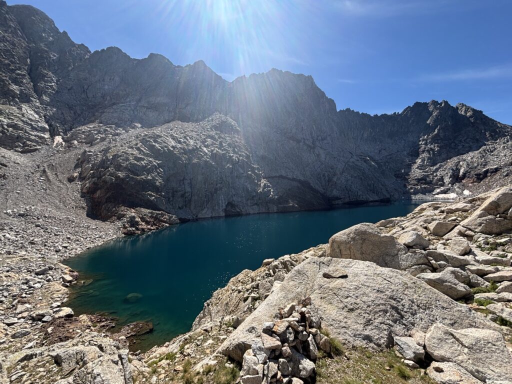
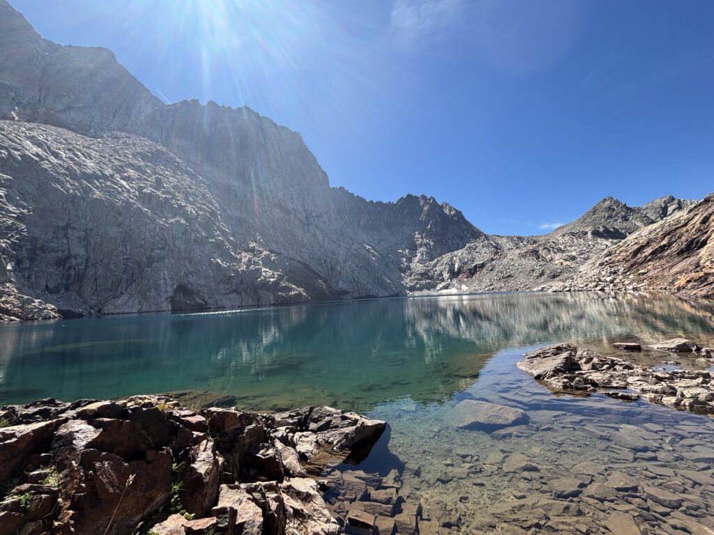
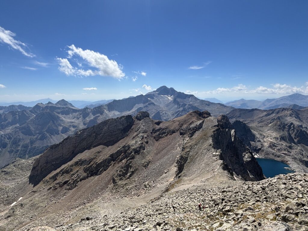
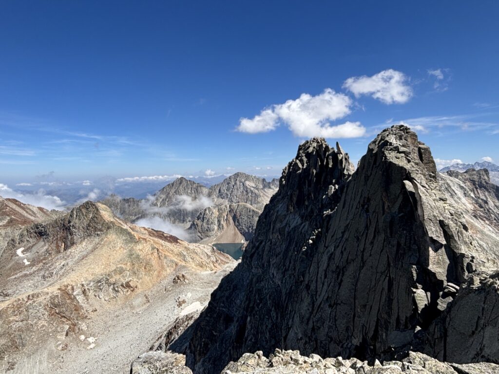
On the map there was supposed to be a small trail taking you to all three peaks. In reality, I would not call it a trail. It was climbing, straight up free climbing. Nothing too difficult, but with the big backpack, taking a lot of space, it is uncomfortable as you are forced into non-ideal positions. Anyways I make it to the peak after some fancy, short for dangerous, climbing, and then the really difficult part starts, getting down.
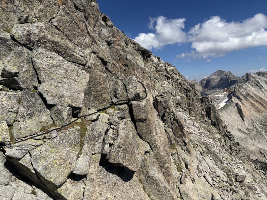
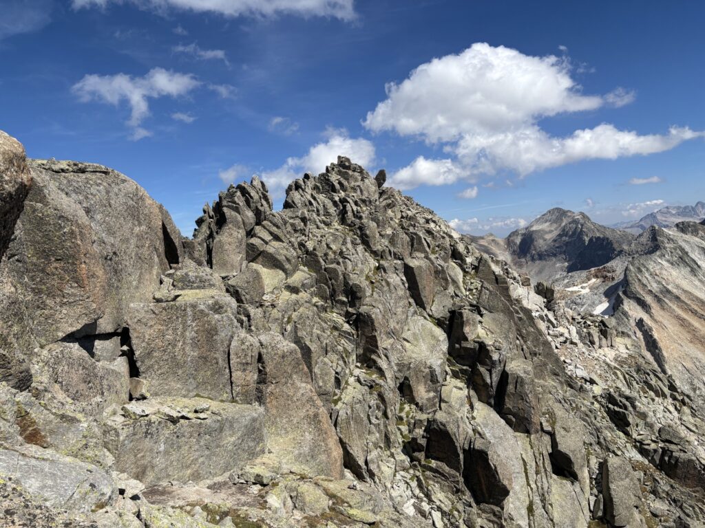
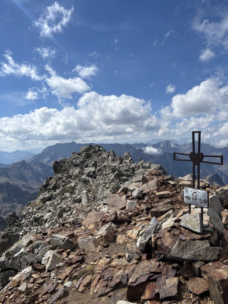
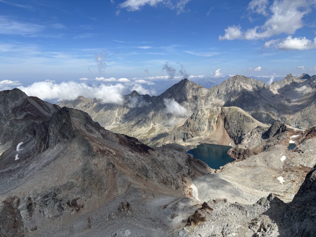
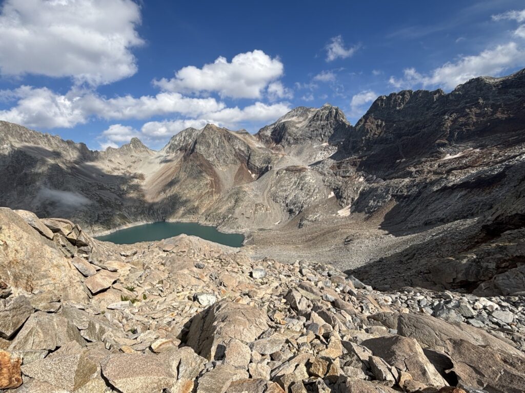
At least going down did not include any climbing, from the other side of the peak there was an actual trail. However, it was the most slippery stone I have ever descended in, but I made it down, connected to the HRP again and pushed on to the Refuge du Portillon, after some extra climbing due to taking a wrong turn. Decision time, I’m slightly short on battery, sleep in the tent or refuge? I asked the cabin host “what is for dinner?” “Meat stew”. Well that settles it, a night in the refuge it is. It is rather pleasant eating dinner in the refuge while talking to like minded people from all across the globe. But so much for a good night’s sleep …
3/9 — Thursday
Someone always snores like a freaking chainsaw, and this time it was not only one person but several, occasionally in perfect sync with each other. This was my worst night sleep so far. And my Garmin watch confirms it. It is always the same story whenever I end up staying in a refuge. To sleep well, stick to the tent or possibly the cabanas. At least I now have a fully charged phone and are ready to go. Today will be that last long day if I stick to the plan, which to be honest is feeling slightly difficult given the poor sleep.
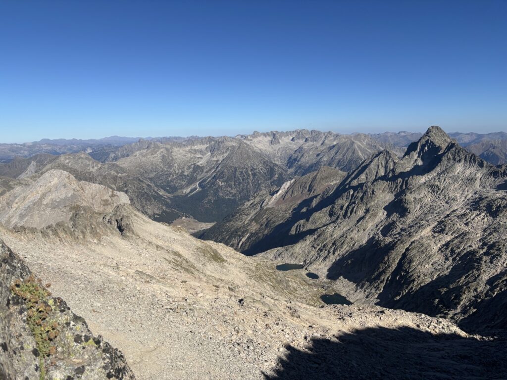
I’m off climbing like a goat, all good so far. As I crest the edge I throw one last glance at the now half-sun covered valley. However, now the hard part begins, the descent is extremely treacherous, not only is it technical but also navigational demanding (the cains are useless). It is good that I charged my phone after all.
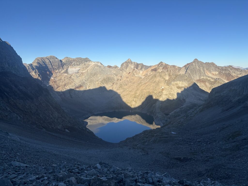
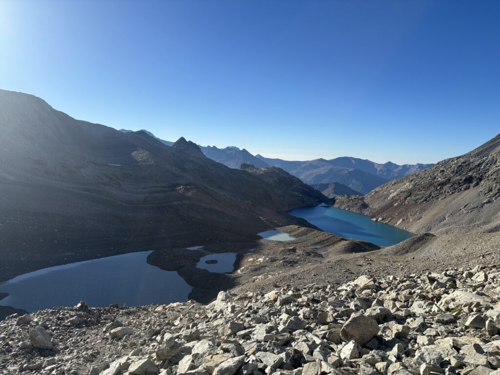
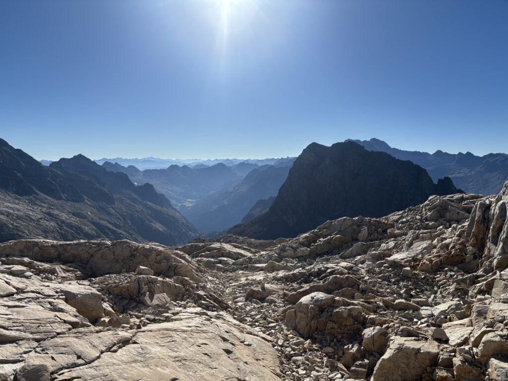
After a time consuming descent I make it to the Capilla de San Salvador valley and are rewarded with some rather comfortable walking for a while before commencing the final long ascent. This ascent is not very technical though, but I’m slightly tired. I ate my last food for lunch, or more accurately for second breakfast, the most important meal of the day. Anyways, the climb finished, time for the last descent, which was not too technical.
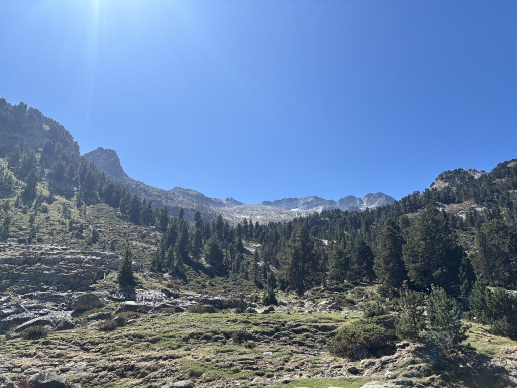
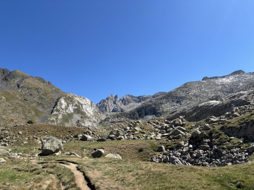
I’m now very close to the south entrance of the Vielha tunnel where I will finish my hike this time. I decided to tent about 1h away from the bus stop. I have little to no signal, but enough to text my father, asking him to check bus connections for me. He was kind of enough to provide a timetable, completely inaccurate as it would turn out. In Spain the online timetable is apparently not aligned with the actual timetable. Luckily it worked out fine anyway.
4/9 — Friday
Up and away, easy hike to the bus station expecting to arrive at the same time of the bus. But no, I had to wait 1.5 hours. I arrive in Vielha around lunch, the first thing I do is go to the supermarket to buy a “little” lunch that I absolutely devour. It is the first time I’m eating anything since yesterday’s second breakfast. Life does not get much better than this.
After digesting the food in the sun, I check into a hotel, and then I go on a shopping spree. Buying various local honey, chocolate and cheese to take back home to France. The cheese I bought was like nothing I have ever eaten before. It was aged for a long time, a really long time, just absolutely packed with flavour and mould, mhm. Go back to Vielha just to buy more cheese?
Then I rest as much as possible for the remainder of the evening. My bus back to Geneva departs at 04:00. All in all it was a relatively easy journey back home, except for the Geneva border police giving me the third degree at the border crossing despite my diplomatic status. It was a very big contrast to the French border police, zero questions asked.
That is all for this time. I will do some more shorter hikes this year, but the big adventures will have to wait until next year. I have not decided if there will be a HRP part 3 or if I will do something else next summer.
My Route