
Hiking GR®738, High Crossing of Belledonne, 18-20/7 2026
The GR 738 is a hiking trail in France, starting in Val-d’Arc and finishing in Grenoble. Depending on the website the distance and total elevation varies. My GAIA GPS route however claims that it is 123 kilometres with 10 300 meters elevation gain.
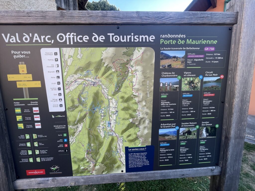
I have three days, the weekend plus one day of vacation, to complete the route. That will be a challenge for sure.
18/7 – Saturday
I took off early in the morning well before the sun rose above the mountains, in an attempt to beat the heat. The day before I took the train from Geneva to the small town of Val-d’Arc where I camped basically in the middle of the city in a designated bivouac spot, and it is from here I’m starting today’s hike.
So much for beating the heat. It is hot despite the sun still not being above the horizon, and of course, the hike almost immediately starts with climbing. A lot of climbing I might add. I’m starting at around 300 meters of elevation and the highest point of the day is 2300 meters, with a lot of up and down in-between. As a result the perspiration is heavy.
At least I’m not carrying food for the full three days. I’m planning to take lunch at some refuges. This is France after all, and passing them is more or less unavoidable.
Early on, I can already feel that I have a problem with chafing. I think the problem is that due to the last three weeks of intense heatwave, certain body parts have been constantly moist (my apartment gets really warm as well) and the skin is really soft and easily comes off. I found that wiping with paper and then standing naked in the wind, when possible, for 2–3 minutes helped a lot, even if the underwear was still wet. Unfortunately, I only have one roll of toilet paper, so we will see how this goes.
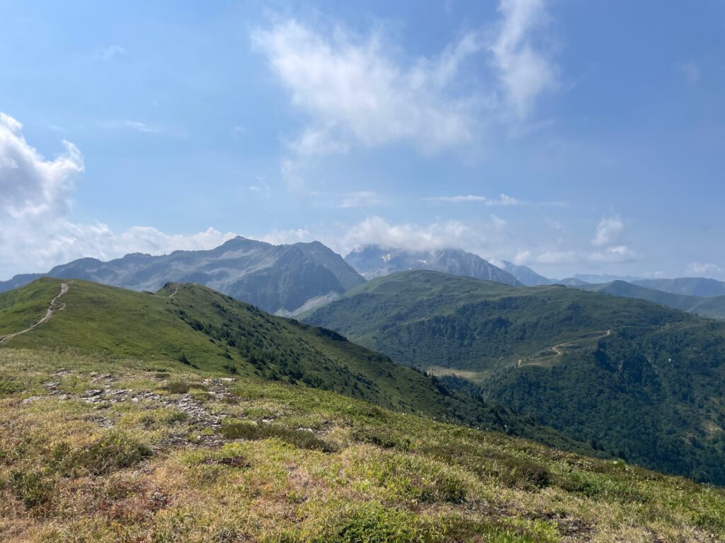
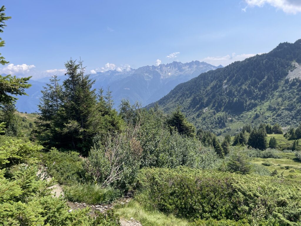
In general there is not too much to say about the trail. I hike, hike, and hike, mostly upwards, while feasting on the abundance of blackberries, raspberries, blueberries, and wild strawberries along the trail.
I take a much-needed rest stop at the unmanned Refuge de la Perriere. And while taking care of some important business, I have been eating a lot of berries. I study the map and see that I have the possibility of taking an off-trail shortcut. Since it will be bushwhacking I doubt I will save much time, but the orienteer in me says: there is no alternative.
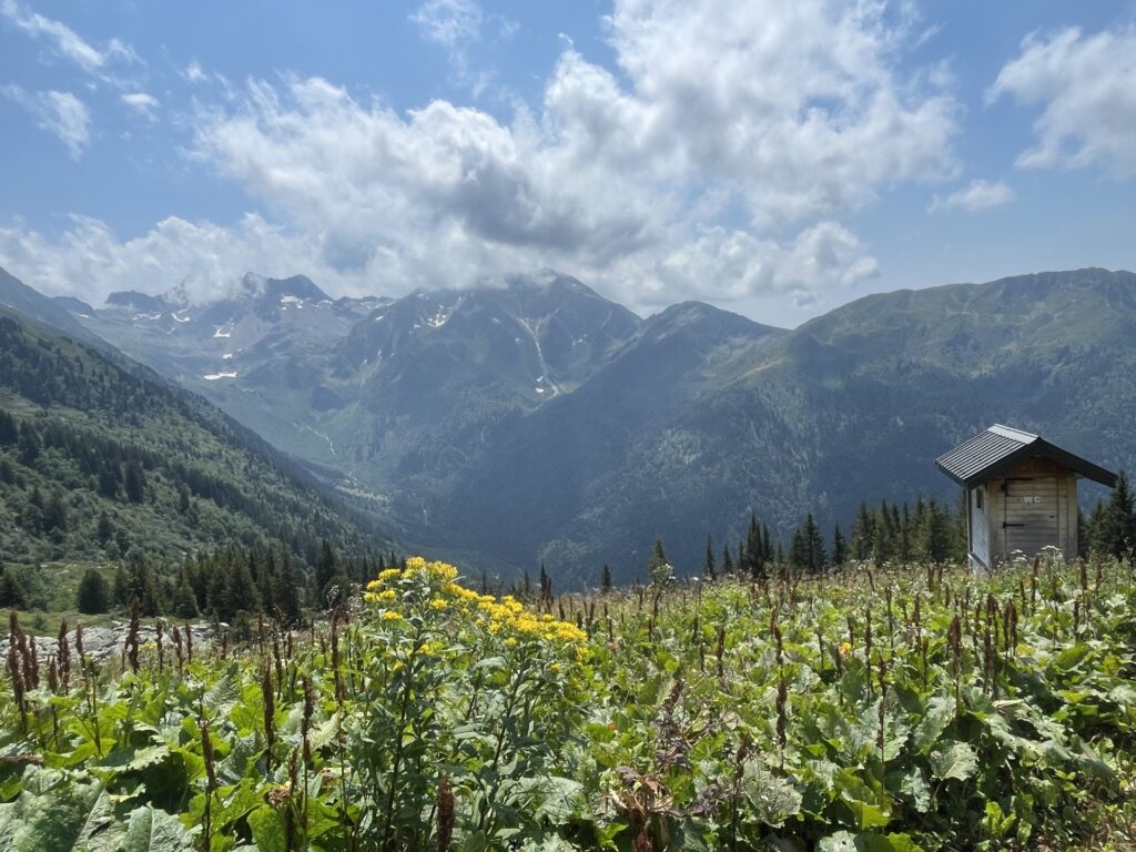
A mistake maybe, as it seems I enter nemesis territory, horseflies. Someone please rid the world of these foul creatures. I’m almost getting PTSD from my days hiking GPT08 in Chile. At least this time the agony is short.
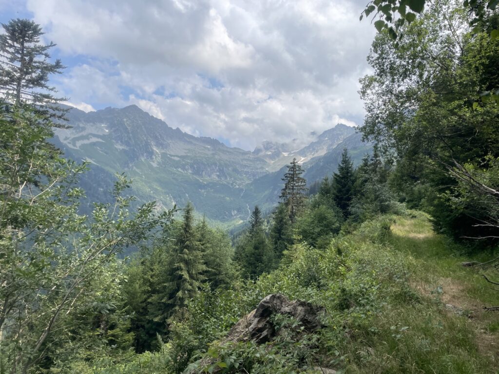
I continue hiking till the sun sets, at which I pass by another unguarded refuge. It seems I will have it completely to myself and the bunks look comfortable. Let’s sleep here then, I guess. I can hear one or two mosquitoes circling around inside, but it does not seem to be too bad.
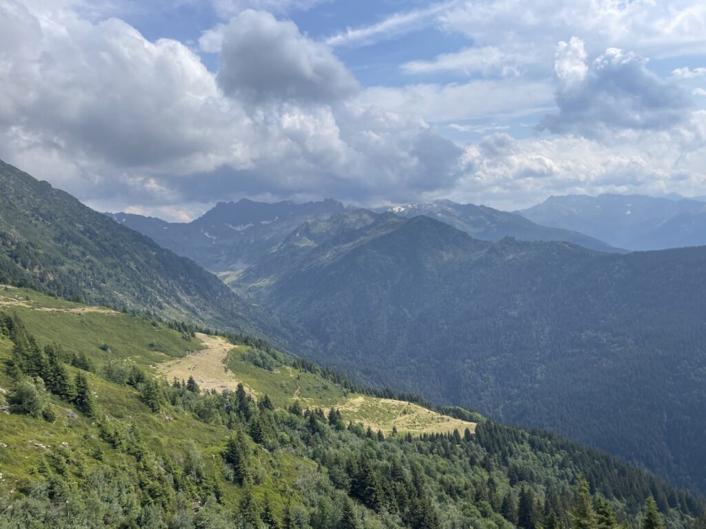
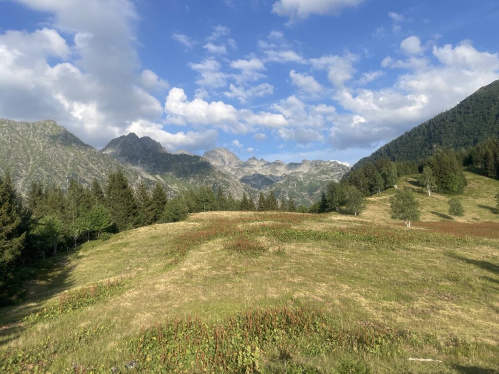
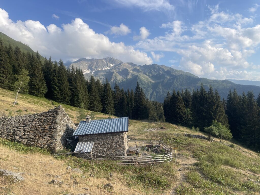
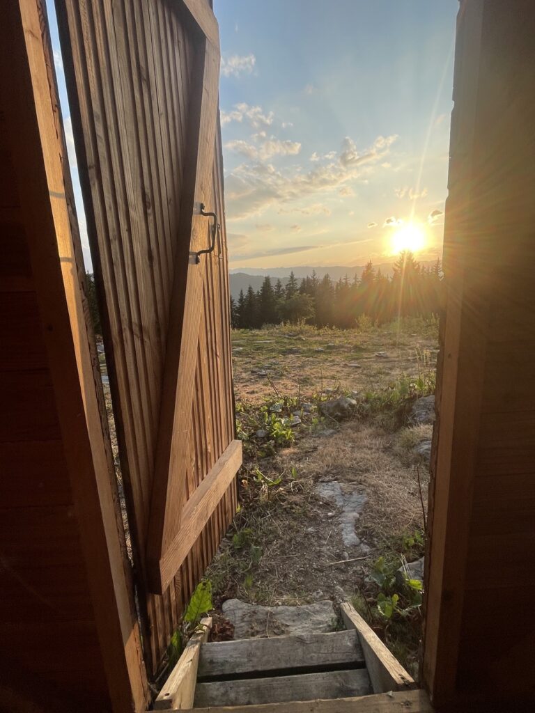
The progress today has been excellent, but I think that I might have pushed too hard, which the cramp I’m starting to feel is an indication of as well. Hopefully a night with good sleep will leave me ready for tomorrow.
19/7 – Sunday
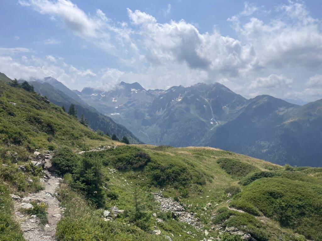
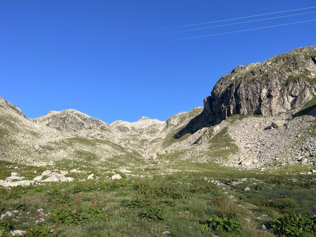
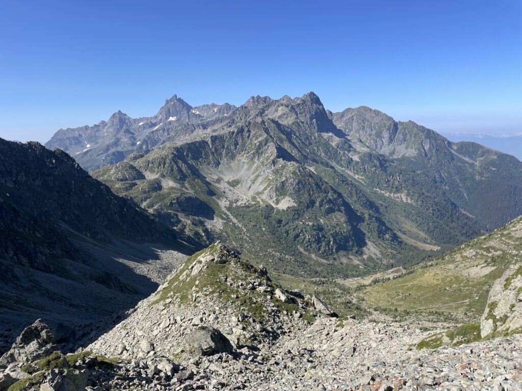
I’m feeling surprisingly good in the morning. That feeling was, however, short-lived. It is another day of descending, ascending, and so forth. The trail is more technical now as well, but the views are better than yesterday, you no longer see towns when looking to the east.
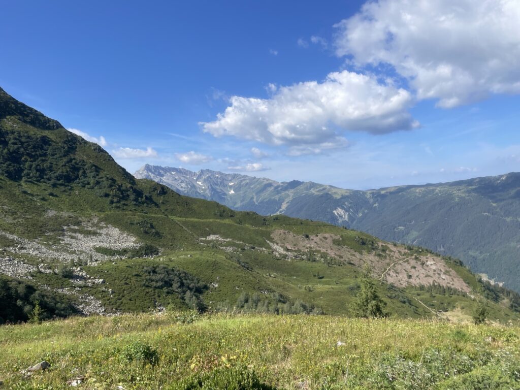
Having spent the morning going up and down, the trail passes by a larger road for a km, and yes, there is a restaurant. Perfect for lunch, a three-course meal it is. What I really like about France is that not only is the food good in general, but the portions are also respectable unlike in most other countries.
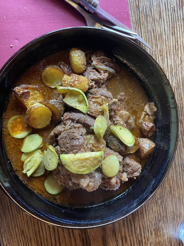
I’m really hoping the lunch will do me good because I’m not feeling like I’m in great shape. I rarely experience cramps. Now, I’m cramping in my quads, my calves, my hands when gripping the poles, my chest and back, my upper arms, well everywhere basically. This has never happened before. Might I be salt depleted?
The lunch was great, but unfortunately it did not help me. After eating I start ascending towards the 7 Laux, and I feel slow and tired, and later nauseating. The climb becomes a very slow and long uphill grind, at least the views are amazing and I come by a perfect campsite, and given I feel like shit and have lost the ability to eat, I decided to camp. This means that if I’m to complete the whole of GR738, tomorrow will be a very long day. But about one hour later this is more or less completely out of the question when I start vomiting.
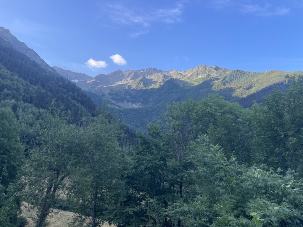
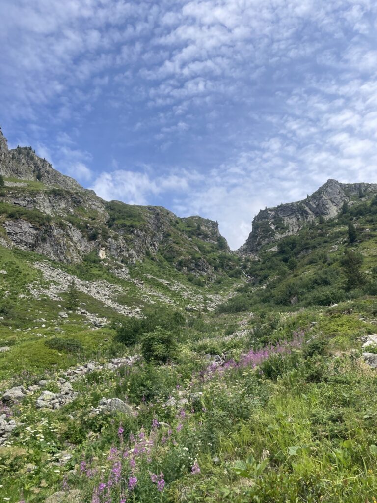
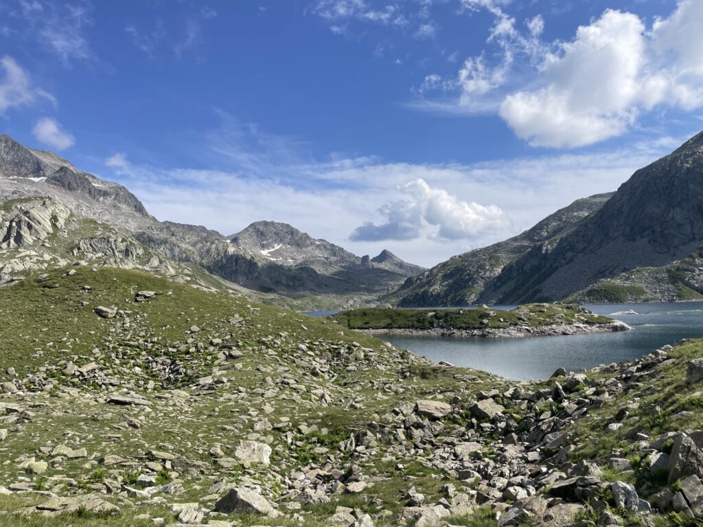
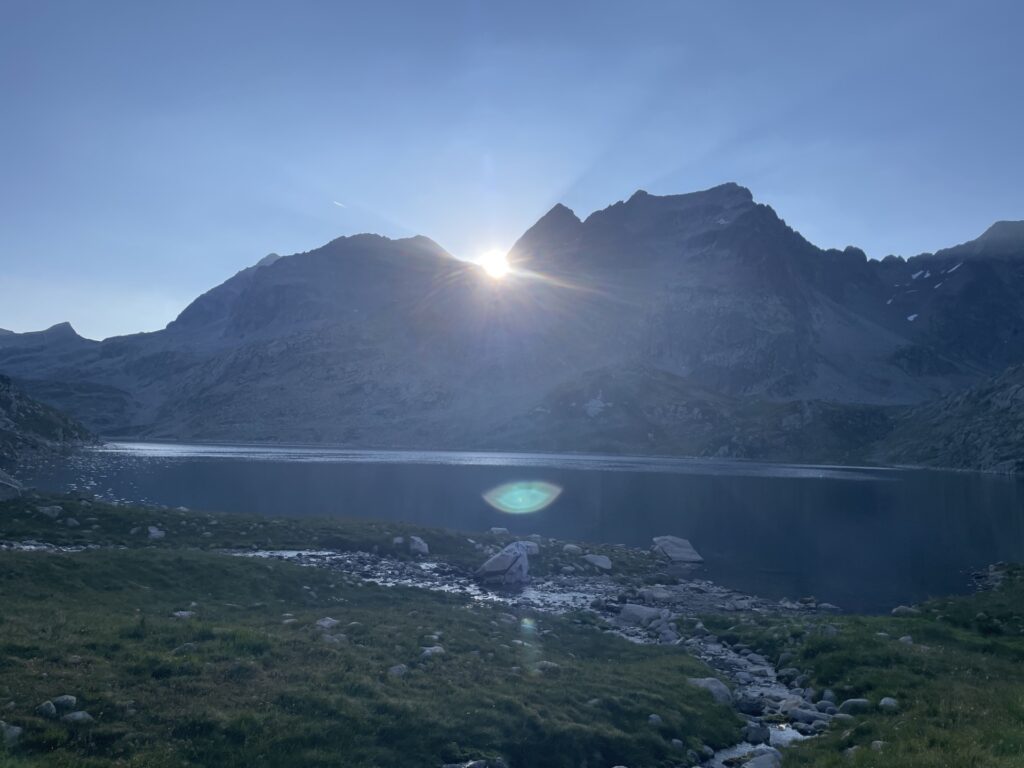
I miss hiking without any time pressure. In Chile, I would have just continued slowly the next day, taking my time with many pauses. Four days instead of three, so what?
20/7 – Monday
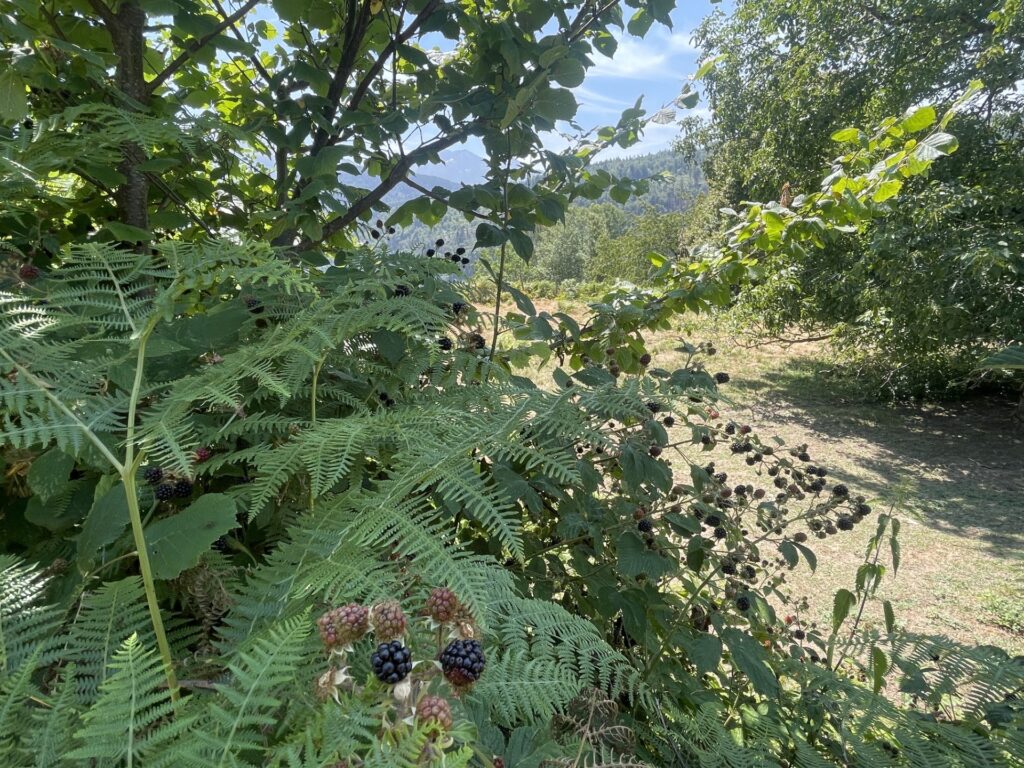
I continue on the GR738 slowly and steadily till I come to the Refuge d’Aiguebelle where I rest and have an omelet for lunch. First thing I have eaten since lunch yesterday. From here I divert from the GR738 and start making my way to the town Brignoud from where I will take the train back to Geneva. It was a bit longer than I expected and included some nice bushwhacking as I took a wrong turn. It also took some time due to a long section of the path being lined with a constant supply of blackberries, delicious. But I have to control myself, otherwise I will soon be nauseous again.
At the train station I have about a 1.5 hour wait until the next departure. And now I’m feeling rather hungry actually so I make a run for the supermarket to purchase a feast for dinner. Naturally the train was then late to arrive, so I missed my first connection and what should have been an early evening turned late.
That is it for this time. I unfortunately did not complete the full GR738. Hiking in France has so far not agreed all to good with me. This is the second time I start vomiting hiking in the span of a month. The other time did not make it to the blog. Next multi day hike will be in the Pyrenees. Hopefully I’m finished vomiting by then. I’ll try to up my salt intake a bit. After all, my average water consumption these three days was 10L/day. As I said previously, it is hot in France this summer.
My Route With Campsites
The result according to my route planner is 100 kilometres and 7200 meters of elevation, of which I did 50K and 4000+ meters of elevation on day 1. As I said, I probably overdid day 1 a wee bit.