
Hiking GRP® Tour des Bauges, 1-3/5 2026
As I have nothing to protest, the 1st of May will be celebrated hiking in the mountains. The last three months, the weekends in have mostly revolved around both Nordic and alpine skiing – Zermatt is highly recommended – and exploring the surroundings on bike and by foot (examples below). But now the winter is coming to an end, and the snow is starting to clear from mountain ranges. Time to go hiking again!
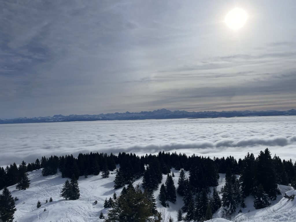
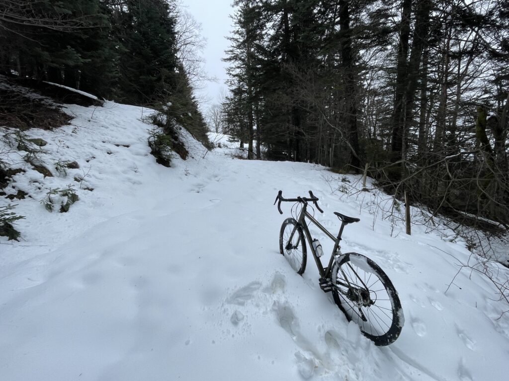
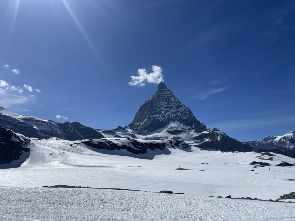
It has been a busy period and I did not have much time to research hiking options – well hiking options that are traversable right now, that is, I have many options in mind that are still snow-covered. Not having a car is also a bit of a limitation. I decided upon hiking the GRP® Tour des Bauges, a 90 kilometer round-loop with 4500 meters of elevation gain in the Parc naturel régional du massif des Bauges.
After finishing work on Thursday, I took the train from Geneva station to Aix-les basin where I booked a hotel room for the night.
1 May — Friday
I awoke early in the morning in the town of Aix-les-Basins – I took the trains from Geneva yesterday after finishing work and stayed the night at a hotel – excited to get going.
From the hotel I take aim towards Le Revand, where I will connect with the GRP Tour des Bauges round loop. It is about 10 kilometers and 1200 meters of extra elevation gain before even connecting with the GRP. After about 3-4 kilometers I have made my way out of the town and are finally getting some views of the mountains. It looks rather snowfree, let’s hope it stays that way.
Having cleared the town, the hiking continues on some nice single tracks. Making the initial 1200 meter climb, I must say that I’m feeling surprisingly weak, my legs feel heavy. Three months in Geneva have made me weak. A very strong contrast given that I was in the best shape of my life returning from Chile. However, after lunch, I’m hitting my stride again. I just required a warm-up, now I feel strong again.
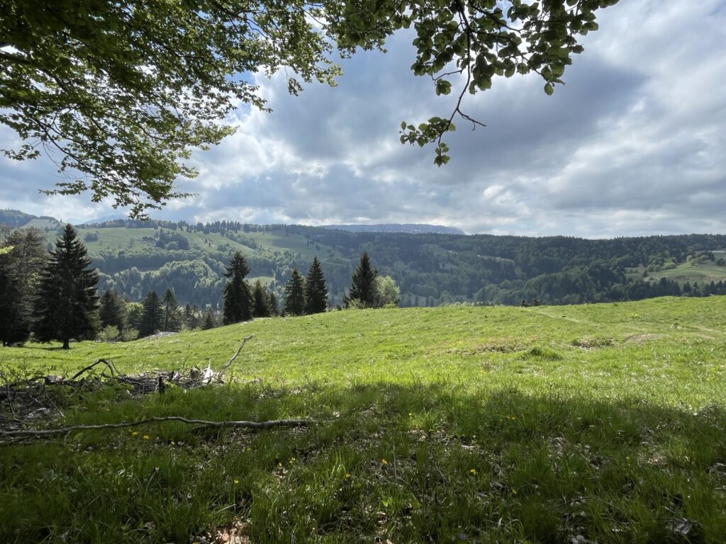
The GRP is a mix of nice trails, dirt roads, and asphalt as the route runs through multiple small towns, such as the small town Arith. Shortly after passing Arith, there is a rather deep cave on the side of the mountain. Of course I must venture inside. There seems to be rather many caves around in the area, and some canyons. Coming back here with a rope to safely descend in the caves and canyons is an adventure for another time.
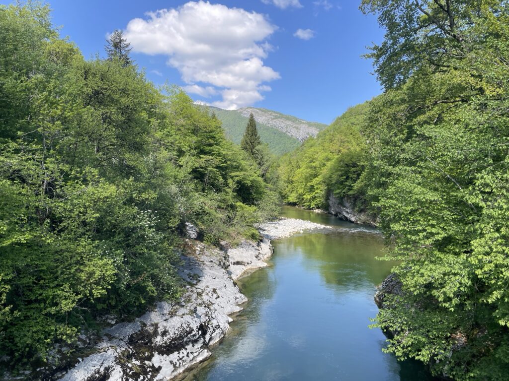
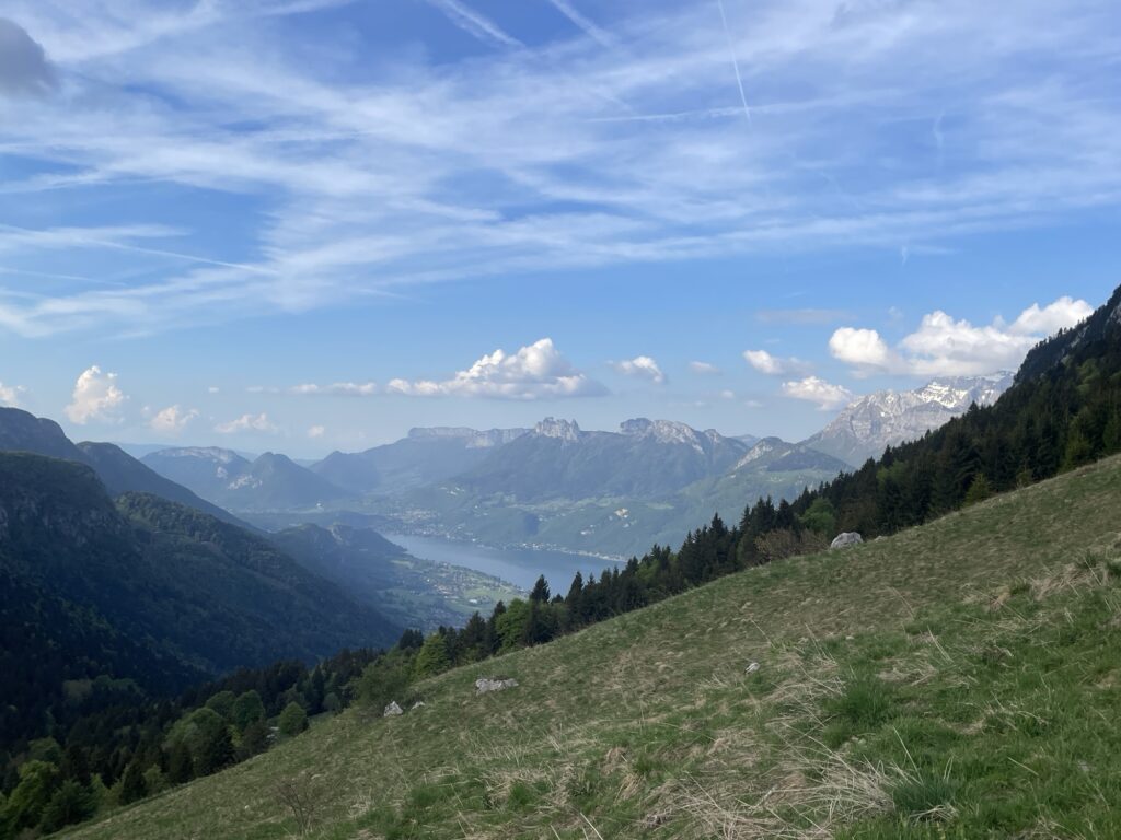
After passing Mont Devont in the late afternoon, I decided to leave the GRP trail to take a detour aiming for some higher elevations, hoping for a bit more technical trail – apparently meaning snow and mud.
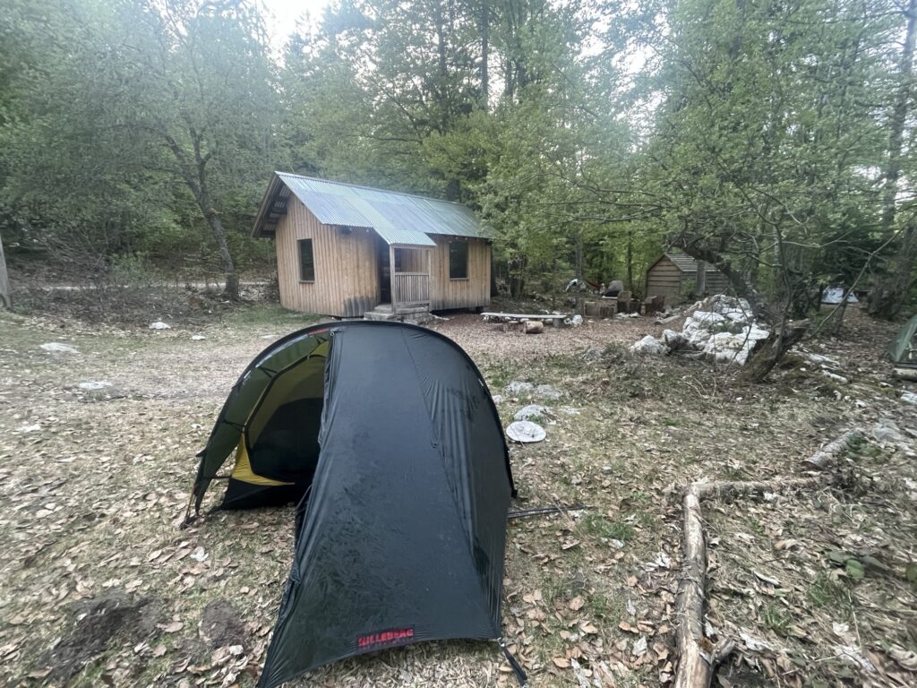
I ended up hiking to Chalet de la Combe, which is a free mountain shelter. It was very popular though as all 20 beds were taken. Oh well, I came here to camp with my own tent anyways. However, I will research these free shelters later, for a one night weekend hike, utilizing free shelters would be a good way to lower the weight, enabling me to push further.
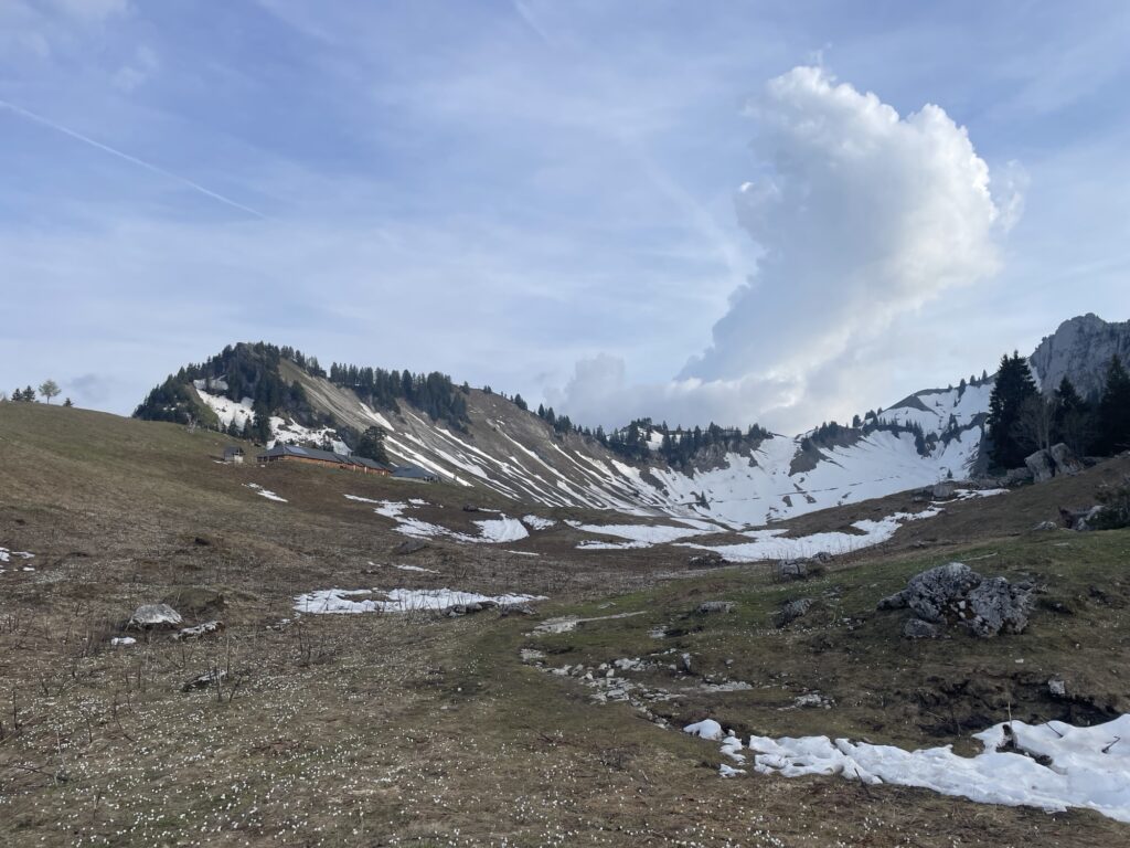
I pitched my tent close to the chalet along a ridge, hoping to be awakened by the morning sun. I was apparently not alone in this thinking as I reached the ridge there were plenty of tents. There was also a group that planned to sleep under the stars. I guess you can do that here without being eaten alive by all the insects (like in Sweden).
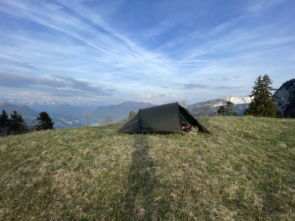
I ended the day with a short planning session in the tent. Essentially I have two options to reconnect to the GRP. Either I ridge climb in snow up to Mont Trelod, standing at 2200 meters of elevation, before going all the way back down 600 meters of elevation and reconnect to the GRP at the small town of Jarcy. Or I casually stroll along a dirt road going softly downhill all the way down to Jarcy. Saying the two options out loud, there is not really that much of a choice.
2 May — Saturday
Snow, snow and snow. The path leading to the summit of Mont Trelod is almost completely covered in snow, it varies between soft and hard (icy) snow. It is a hard climb, and judging from the footprints at the summit, not a climb many are undertaking. But it was worth it.
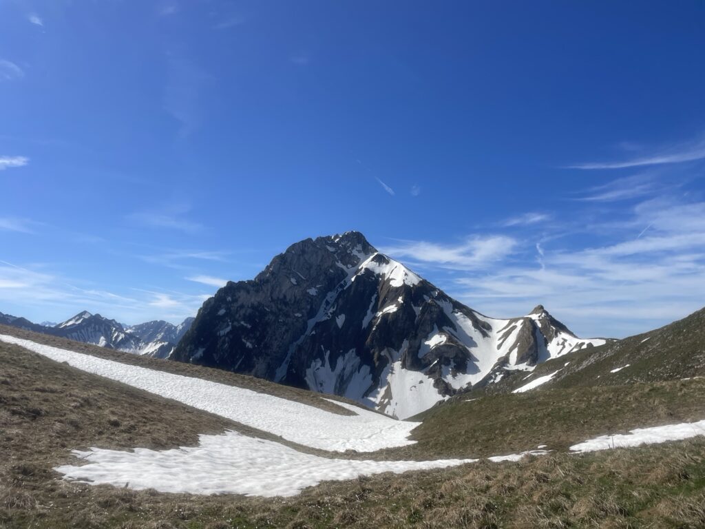
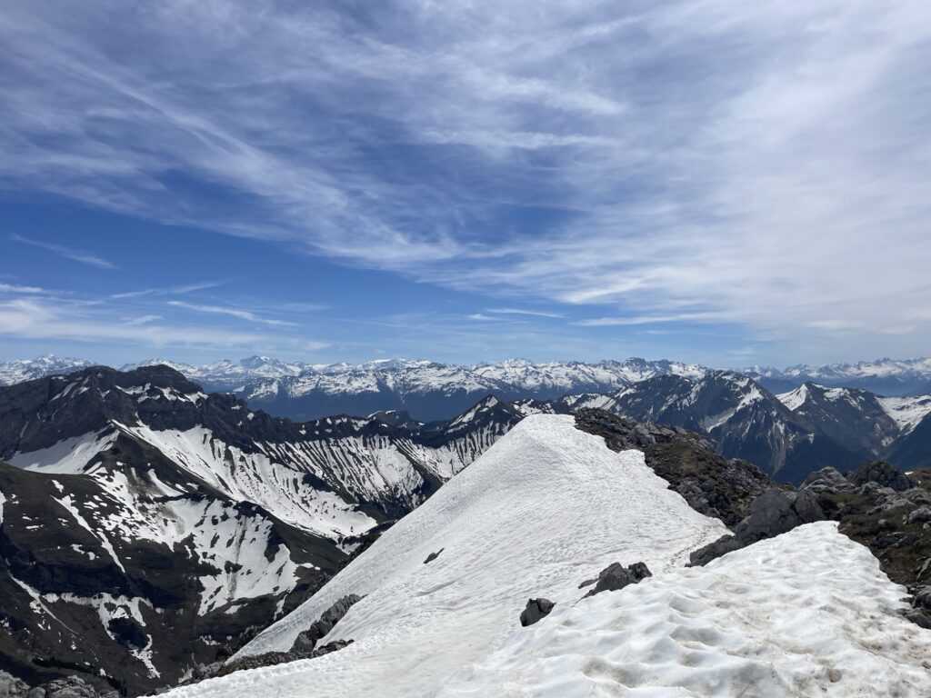
The descent, however, was almost completely snow free. Lessons learned, the north sides are snow covered and the south sides are snow free. Mid afternoon I reconnect with the GRP and shortly after I walk by a restaurant serving grilled duck with mashed potatoes, mhm, yummy.
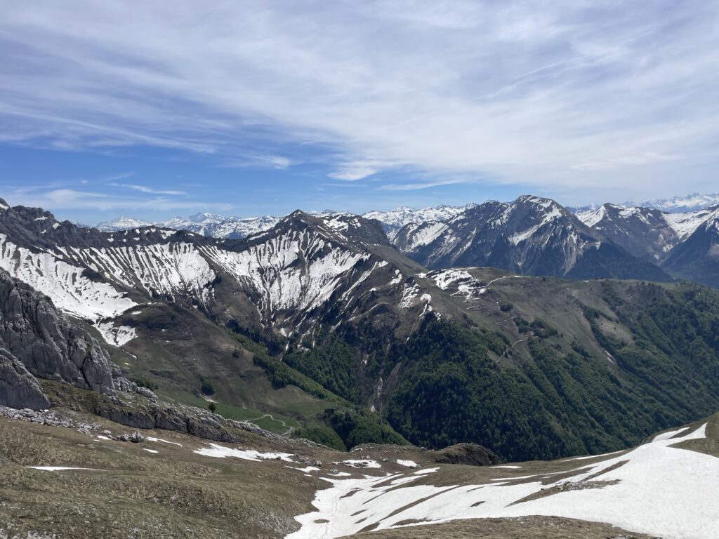
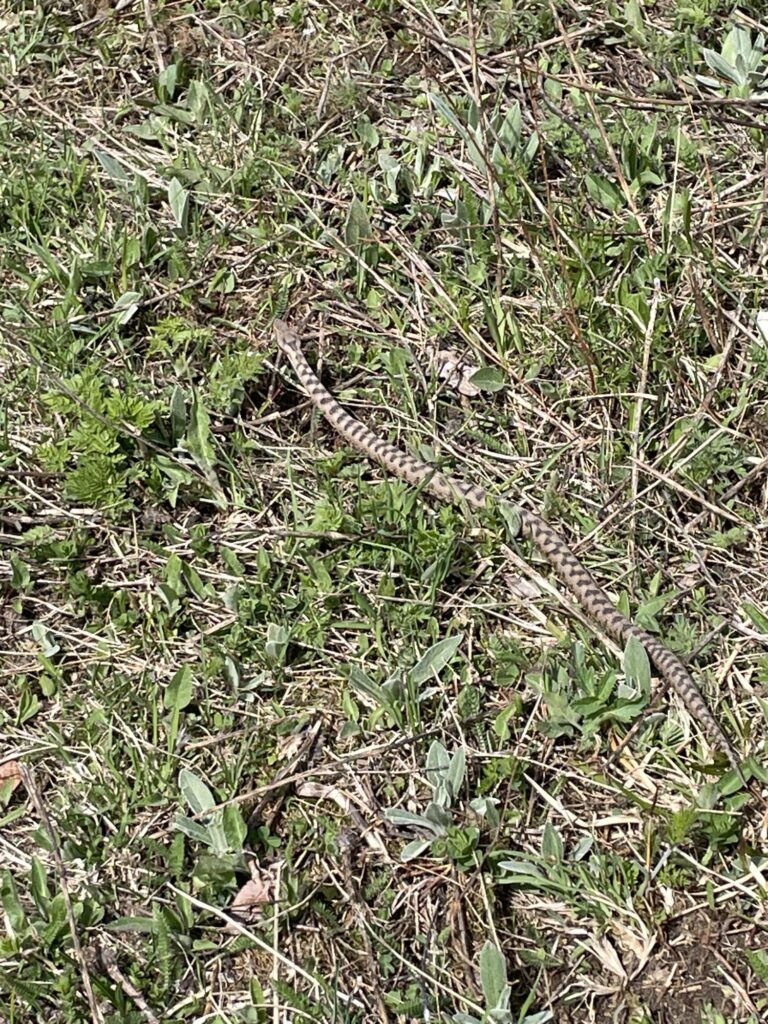
After enjoying that late lunch I push onwards, I want to cover some distance today so that tomorrow becomes a bit more relaxed. In the late afternoon, I walked by an amazing campsite, but I thought that it was still a bit too early and decided to continue hiking. The problem now is that I’m entering camping forbidden territory. I ended up walking all the way to Cabana Baban which serves as a bivouac area with designated tent-sites. Being the last one to arrive for the day, almost at sun fall, I of course get the least appealing tent-site.
3 May — Sunday
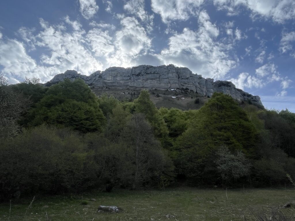
Last day. It is much colder this morning than the previous day, and somewhat surprisingly, there is a lot of snow on the initial section. During last night’s planning session, I decided to depart from the GRP once again, but this time it is a slight shortcut instead of a long detour. Instead of following the GRP down to the small town Les Deserts, I continue uphill towards the high-point of the Aillon-Margeriaz ridge, where according to the map there should be a small trail going down to the valley.
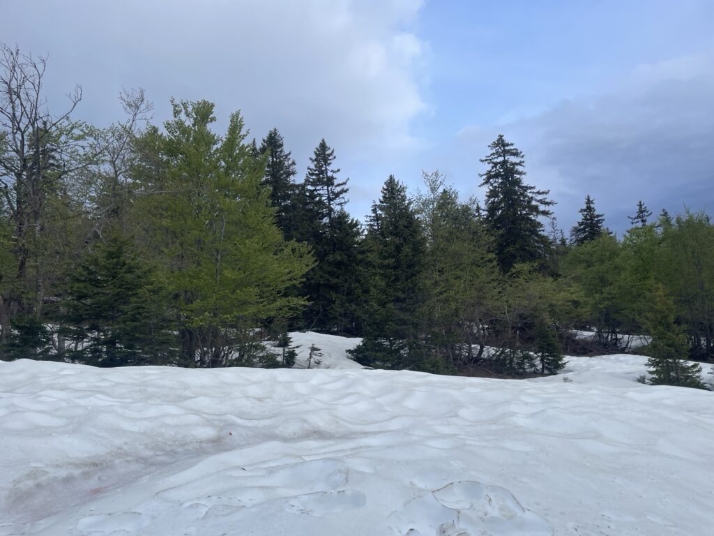
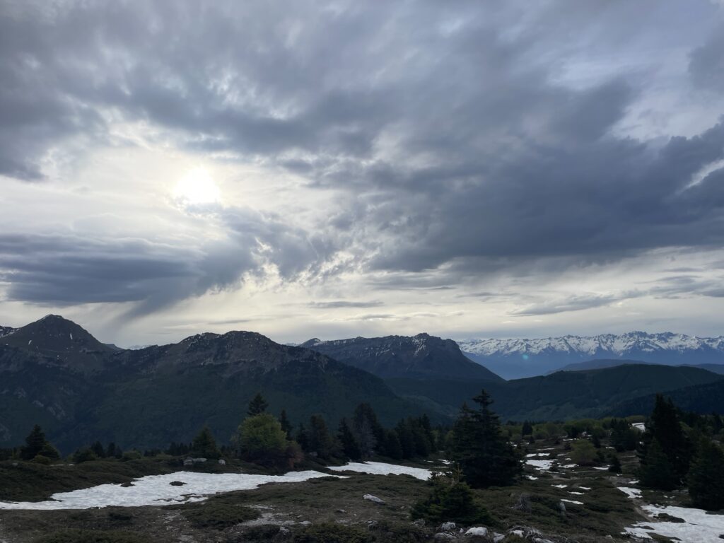
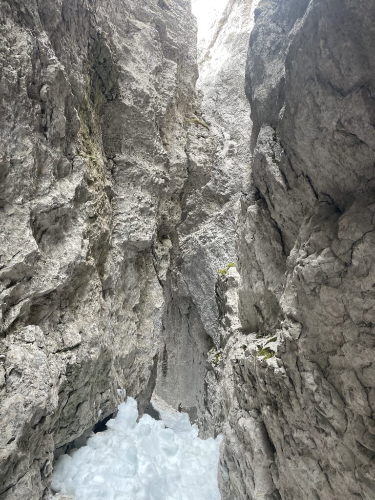
Reaching the ridge, I’m starting to feel a bit skeptical at this supposed trail, it is a very sheer cliff and does. But it turns out there was a way to descend through a narrow ravine. And I was extremely lucky to be there at just the right time.
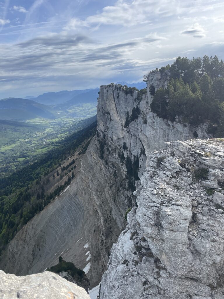
Arriving at the entry point of the ravine, it is still completely filled with snow making a descent not impossible but very precarious without ropes. However, it sounds like someone is shuffling snow. Following the edge of the ravine, I see four guys in the process of clearing a path through the ravine. They have entered from the opposite direction and are making their way towards me. I call down to them, have a brief talk, and then wait 10-20 minutes until they finish clearing a path for me. Perfect timing. Thanks guys!
And with that, the best hiking is over. A short push to Farclaz, a little bit more hiking of the GRP, meeting hundreds of trail runners competing in some ultra-race, and then drop all the way back to Aix-Les Bason, including a sprint at the end to catch the 12:55 train.
My Route
Trevlig läsning!